top of page


SURVEYS
Click here to explore the different types of surveys we offer:
or feel free to email us; we're happy to help.

DRONE

UAV/DRONE SERVICES
Click to discover the professional UAV and Drone Services we provide:
or feel free to email us; we're happy to help.
Setting Out
SETTING OUT
Click here to learn more about our setting-out engineering solutions:
✓ Construction
✓ Boundaries
✓ Events
Find out more
or feel free to email us; we're happy to help.

CAD

CAD SERVICES
Click here to explore the CAD services we deliver:
✓ Land Registry Compliant
✓ 3D Point cloud to CAD
✓ Design assistance
✓ Digitalization of Plans
Find out more
or feel free to email us; we're happy to help.

ABOUT
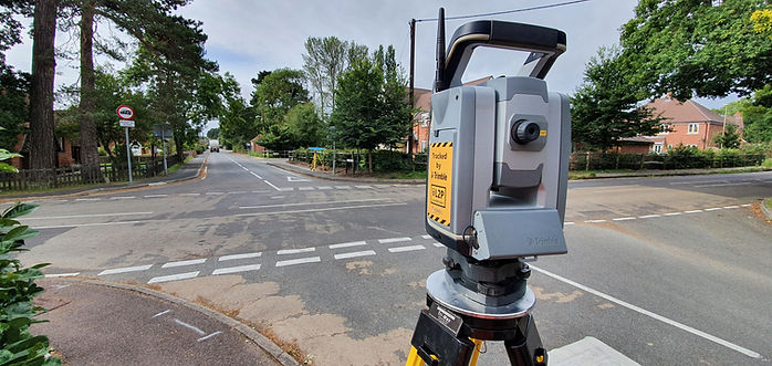
XRS Geomatics is a Land Surveying business based in the South of England with over 15 years of experience in the United Kingdom and across Europe. We carry out a range of services using a spectrum of methodologies from conventional to cutting-edge for accurate, timely and cost-effective delivery of your projects.
bottom of page


